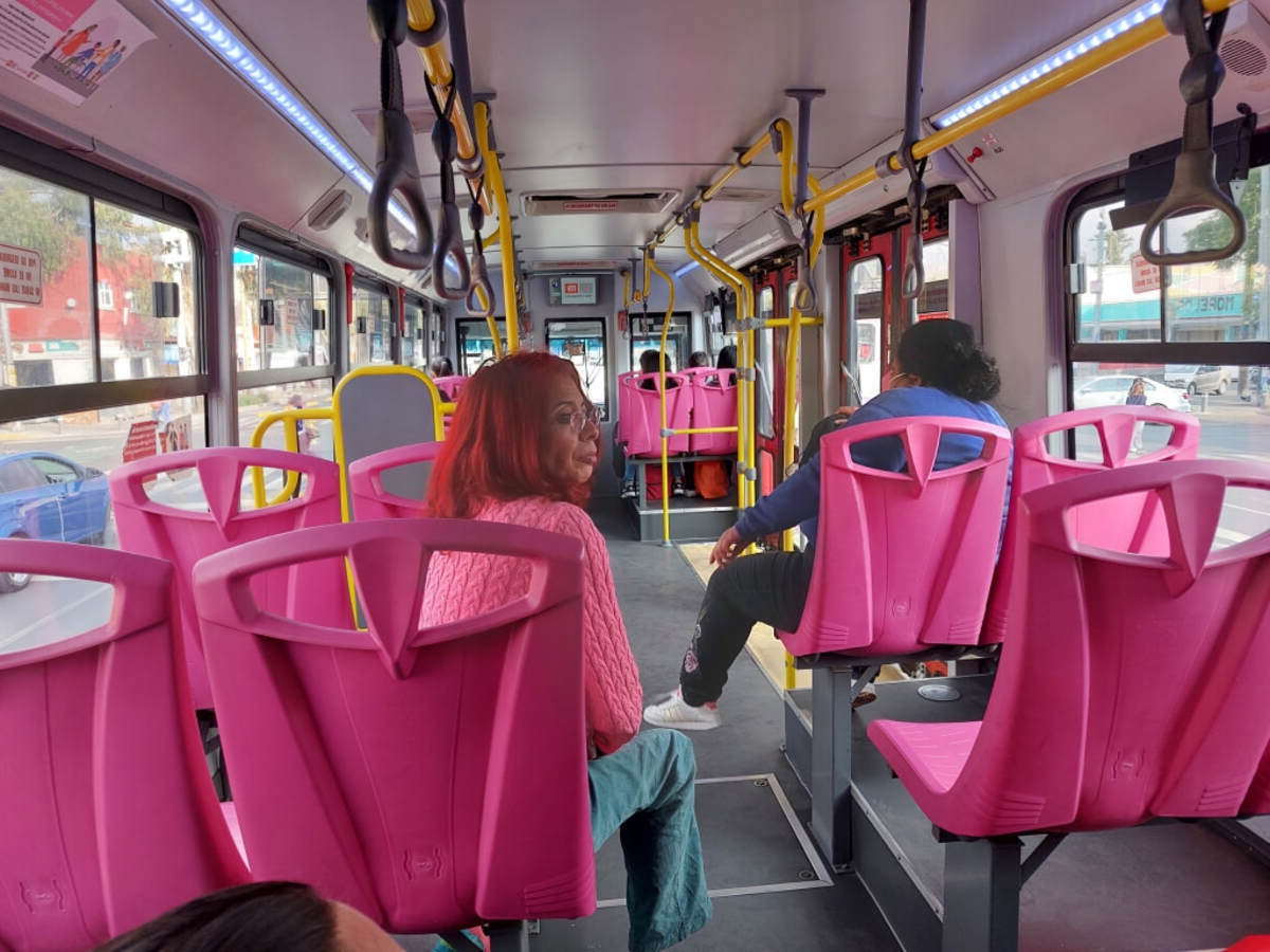
How To Navigate Mexico City’s Public Transit As An American

Traveling to Mexico City can be thrilling, but figuring out the public transit system might seem tricky at first. As an American, you might wonder how to get around efficiently in this bustling metropolis. Mexico City's public transit includes buses, the metro, and even bike-sharing options. Each mode has its quirks, but with a bit of guidance, you’ll navigate like a local. From purchasing tickets to understanding routes, this guide will help you feel confident and prepared. Whether you’re visiting historic sites or trendy neighborhoods, mastering the transit system will make your trip smoother and more enjoyable. Ready to dive in? Let’s get started!
Understanding Mexico City's Public Transit System
Navigating Mexico City's public transit can seem overwhelming, especially for Americans unfamiliar with the system. However, with a bit of knowledge, getting around can be a breeze. Here are some key places to help you understand and use the city's transit system effectively.
Metro: The Backbone of the City
The Metro is the most efficient way to travel long distances across Mexico City. It's affordable, extensive, and relatively easy to use once you get the hang of it.
- Metro Line 1 (Pink Line): This line runs from Pantitlán to Observatorio, covering major areas like Chapultepec Park and the historic center.
- Metro Line 2 (Blue Line): Connecting Cuatro Caminos to Tasqueña, this line passes through key spots like Zócalo and Bellas Artes.
- Metro Line 7 (Orange Line): Running from El Rosario to Barranca del Muerto, it’s perfect for reaching Polanco, a neighborhood known for its upscale shopping and dining.
Metrobús: The Rapid Transit Bus System
Metrobús is a bus rapid transit system that complements the Metro. It operates on dedicated lanes, making it faster than regular buses.
- Line 1: This line runs along Avenida de los Insurgentes, one of the longest avenues in the world, connecting Indios Verdes to El Caminero.
- Line 2: Covering the route from Tepalcates to Tacubaya, it passes through important areas like the World Trade Center and Roma-Condesa.
- Line 7: Running along Paseo de la Reforma, this line is ideal for reaching tourist attractions such as the Angel of Independence and Chapultepec Castle.
RTP Buses: The Traditional Bus Network
RTP buses are the traditional buses that cover areas not served by the Metro or Metrobús. They are slower but offer more extensive coverage.
- Route 34-A: This route connects the southern part of the city, including the National Autonomous University of Mexico (UNAM) and Coyoacán.
- Route 76: Running from Santa Fe to Tacubaya, it’s useful for reaching the business district and connecting with other transit options.
- Route 57: This route covers the eastern part of the city, including the airport and surrounding neighborhoods.
Trolebús: The Electric Bus System
Trolebús is an electric bus system that offers an eco-friendly way to travel. It’s quieter and less crowded than other options.
- Line A: Connecting Central de Autobuses del Norte to Central de Autobuses del Sur, this line is great for long-distance travelers.
- Line K: Running from Chapultepec to Metro Pantitlán, it covers key areas like the historic center and major Metro stations.
- Line LL: This line connects the eastern and western parts of the city, making it useful for cross-city travel.
Light Rail: The Tren Ligero
The Tren Ligero, or Light Rail, is a smaller rail system that serves the southern part of the city. It’s slower but offers scenic views.
- Xochimilco Line: Running from Tasqueña to Xochimilco, this line is perfect for reaching the famous floating gardens and canals.
- Tlalpan Line: This line connects the southern neighborhoods, offering a quieter and more relaxed travel experience.
- Mixcoac Line: Serving the southwestern part of the city, it’s useful for reaching residential areas and local markets.
Making the Most of Mexico City's Public Transit
Navigating Mexico City's public transit can seem tricky, but it's manageable with a few tips. Always have a Metro map handy. It helps you plan routes and avoid getting lost. Use a reloadable Metro card for convenience. It's faster than buying single tickets each time. Be mindful of peak hours to avoid crowded trains and buses.
Safety is key. Keep your belongings close and stay aware of your surroundings. If you're unsure about a route, ask locals. Many are friendly and willing to help. Consider using ride-sharing apps like Uber for late-night travel or when you're in a hurry.
Exploring the city by public transit offers a unique glimpse into local life. With a bit of preparation, you'll find it an efficient and affordable way to see all that Mexico City has to offer.

