Hidden Watershed Divides Of The Appalachian Mountains

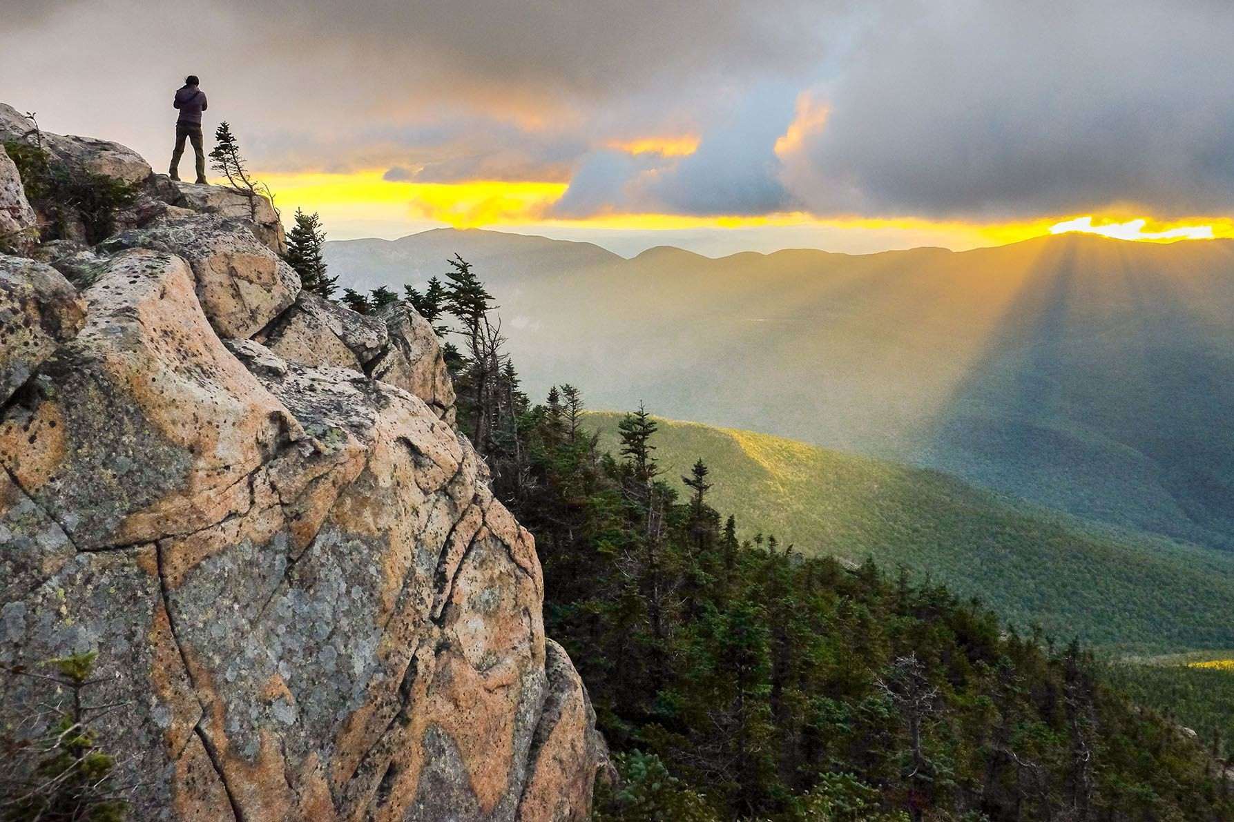
Have you ever wondered about the hidden secrets of the Appalachian Mountains? These ancient peaks hold more than just breathtaking views. One of their most intriguing features is the watershed divides. These natural boundaries determine where rivers and streams flow, shaping the landscape in fascinating ways. Imagine standing on a ridge where rainwater decides whether to journey toward the Atlantic Ocean or the Gulf of Mexico. Understanding these divides can give you a deeper appreciation for the geography and history of this iconic mountain range. Join us as we uncover the hidden watershed divides of the Appalachian Mountains.
Hidden Watershed Divides of the Appalachian Mountains
The Appalachian Mountains, stretching from Alabama to Canada, are a natural wonder. Beneath their rugged beauty lies a network of hidden watershed divides. These divides determine the flow of water, shaping the landscape and ecosystems. Let's explore some of these fascinating watershed divides.
1. Eastern Continental Divide
The Eastern Continental Divide runs from Pennsylvania to Georgia. It separates waters flowing to the Atlantic Ocean from those heading to the Gulf of Mexico. This divide influences major rivers and their tributaries.
- Blue Ridge Mountains: This section of the divide is known for its stunning vistas and diverse flora. It plays a crucial role in directing water flow eastward.
- Great Smoky Mountains: Here, the divide creates a natural boundary between Tennessee and North Carolina, influencing the flow of the Tennessee River.
2. Allegheny Front
The Allegheny Front is a prominent escarpment in the central Appalachians. It marks the boundary between the Ridge-and-Valley Appalachians and the Allegheny Plateau.
- Spruce Knob: West Virginia's highest peak, Spruce Knob, lies along this divide. It directs water into the Potomac River basin.
- Dolly Sods Wilderness: This unique high-altitude plateau features bogs and heath barrens. The divide here influences the flow of the Cheat River.
3. St. Lawrence Divide
The St. Lawrence Divide separates waters flowing into the Great Lakes and the St. Lawrence River from those heading to the Atlantic Ocean.
- Adirondack Mountains: This range in New York State plays a key role in the divide. It directs water into Lake Champlain and the St. Lawrence River.
- Green Mountains: In Vermont, the Green Mountains influence the flow of water into Lake Champlain and the Connecticut River.
4. Tennessee Valley Divide
The Tennessee Valley Divide separates waters flowing into the Tennessee River from those heading to the Atlantic Ocean.
- Cumberland Plateau: This plateau in Kentucky and Tennessee directs water into the Cumberland and Tennessee Rivers.
- Blue Ridge Escarpment: In North Carolina, this escarpment influences the flow of water into the Tennessee River basin.
5. New River Divide
The New River Divide separates waters flowing into the New River from those heading to the Atlantic Ocean.
- Mount Rogers: Virginia's highest peak, Mount Rogers, lies along this divide. It directs water into the New River basin.
- Blacksburg: This college town in Virginia sits near the divide, influencing the flow of the New River.
6. Potomac Divide
The Potomac Divide separates waters flowing into the Potomac River from those heading to the Atlantic Ocean.
- Shenandoah Valley: This fertile valley in Virginia and West Virginia is influenced by the divide, directing water into the Potomac River.
- Catoctin Mountain: In Maryland, this mountain range plays a role in the divide, influencing the flow of the Potomac River.
7. Susquehanna Divide
The Susquehanna Divide separates waters flowing into the Susquehanna River from those heading to the Atlantic Ocean.
- Allegheny Mountains: This range in Pennsylvania directs water into the Susquehanna River basin.
- Pocono Mountains: In northeastern Pennsylvania, the Poconos influence the flow of water into the Susquehanna River.
8. James River Divide
The James River Divide separates waters flowing into the James River from those heading to the Atlantic Ocean.
- Blue Ridge Mountains: This section of the divide influences the flow of the James River, directing water eastward.
- Appomattox River: In Virginia, the Appomattox River basin is shaped by this divide, influencing water flow into the James River.
9. Savannah River Divide
The Savannah River Divide separates waters flowing into the Savannah River from those heading to the Atlantic Ocean.
- Blue Ridge Mountains: This section of the divide directs water into the Savannah River basin.
- Piedmont Plateau: In Georgia and South Carolina, the Piedmont Plateau influences the flow of water into the Savannah River.
10. Chattahoochee Divide
The Chattahoochee Divide separates waters flowing into the Chattahoochee River from those heading to the Gulf of Mexico.
- Blue Ridge Mountains: This section of the divide directs water into the Chattahoochee River basin.
- Piedmont Plateau: In Georgia, the Piedmont Plateau influences the flow of water into the Chattahoochee River.
Discovering the Hidden Watersheds
Exploring the hidden watershed divides of the Appalachian Mountains reveals a world of natural beauty and ecological significance. These divides, often overlooked, play a crucial role in directing water flow and shaping the landscape. They support diverse ecosystems, providing habitats for countless species. Understanding these divides helps us appreciate the intricate balance of nature and the importance of preserving these areas.
Hiking along these hidden watersheds offers a unique experience, connecting us to the land's history and natural processes. Each step uncovers new insights into the region's geology, hydrology, and biodiversity. Whether you're an avid hiker or a curious nature lover, the Appalachian Mountains' hidden watersheds promise adventure and discovery.
Next time you venture into the Appalachians, take a moment to consider the unseen divides beneath your feet. They are the silent architects of the landscape, shaping the mountains and valleys we cherish.

