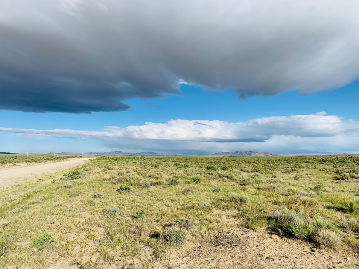
Hidden Pioneer Crossings Of Wyoming’s Oregon Trail

Have you ever wondered what it was like for pioneers traveling the Oregon Trail through Wyoming? Imagine the vast landscapes, the rugged terrain, and the sheer determination needed to make the journey. Wyoming's portion of the trail offers a glimpse into the past, where you can still see wagon ruts and historic landmarks. From Independence Rock to South Pass, each site tells a story of adventure and hardship. Whether you're a history buff or just love exploring new places, following the Oregon Trail in Wyoming provides a unique way to connect with America's pioneering spirit. Ready to step back in time? Let's go!
Hidden Pioneer Crossings of Wyoming's Oregon Trail
Wyoming's Oregon Trail holds countless stories of pioneers braving the unknown. While some spots are well-known, others remain hidden gems waiting to be discovered. Let's uncover these lesser-known crossings that played a crucial role in the westward expansion.
1. South Pass
South Pass, a broad valley in the Rocky Mountains, was a key crossing for thousands of pioneers. Its gentle slopes made it easier for wagons to traverse, unlike the steep and treacherous mountain passes elsewhere.
- Location: Near the Continental Divide, southwest Wyoming
- Significance: Allowed large numbers of settlers to move westward efficiently
- Current State: A historical site with markers and trails for visitors
2. Fort Bridger
Fort Bridger served as a vital resupply point for weary travelers. Established by Jim Bridger and Louis Vasquez, it became a bustling hub of activity and trade.
- Location: Uinta County, southwestern Wyoming
- Significance: Provided essential supplies and rest for pioneers
- Current State: Restored fort with a museum and interpretive center
3. Independence Rock
Independence Rock, often called the "Great Register of the Desert," is a massive granite rock where pioneers carved their names. It became a landmark for travelers aiming to reach it by July 4th to ensure a timely journey.
- Location: Near the Sweetwater River, central Wyoming
- Significance: Served as a morale booster and navigation point
- Current State: A protected historical site with visible carvings
4. Devil's Gate
Devil's Gate, a narrow cleft in the Sweetwater Rocks, presented a dramatic and challenging crossing. Despite its intimidating appearance, it became a notable landmark for pioneers.
- Location: Near Independence Rock, central Wyoming
- Significance: Marked a significant point on the trail, symbolizing perseverance
- Current State: A scenic spot with hiking trails and historical markers
5. Register Cliff
Register Cliff, another "register" of the trail, features names and messages carved by pioneers. It stands as a testament to the thousands who passed through, leaving their mark on history.
- Location: Near Guernsey, eastern Wyoming
- Significance: Provided a sense of community and connection among travelers
- Current State: A preserved site with interpretive signs and visible carvings
6. Fort Laramie
Fort Laramie, originally a fur trading post, evolved into a major military outpost. It played a crucial role in protecting settlers and facilitating communication along the trail.
- Location: Near the confluence of the Laramie and North Platte Rivers, eastern Wyoming
- Significance: Offered protection, supplies, and a place to rest
- Current State: A national historic site with restored buildings and exhibits
7. Ayres Natural Bridge
Ayres Natural Bridge, a stunning natural rock formation, provided a picturesque and unique crossing point. Pioneers marveled at its beauty and often stopped to rest and take in the view.
- Location: Near Douglas, eastern Wyoming
- Significance: Offered a natural shelter and scenic respite
- Current State: A park with picnic areas, trails, and the natural bridge
8. Red Buttes
Red Buttes, a series of striking red rock formations, served as a landmark and resting spot. The vibrant colors and unique shapes made it a memorable point on the journey.
- Location: Near Casper, central Wyoming
- Significance: Provided a visual guide and resting place for travelers
- Current State: A scenic area with hiking opportunities and historical markers
9. Fort Caspar
Fort Caspar, named after Lieutenant Caspar Collins, was a military post that offered protection and supplies. It became a critical stop for pioneers navigating the treacherous North Platte River.
- Location: Casper, central Wyoming
- Significance: Ensured safety and support for settlers
- Current State: A museum and reconstructed fort with exhibits on pioneer life
10. South Pass City
South Pass City, a once-thriving mining town, became a bustling stop for pioneers. Its rich history and well-preserved buildings offer a glimpse into the past.
- Location: Near South Pass, southwestern Wyoming
- Significance: Provided resources and a sense of community
- Current State: A historic site with restored buildings and guided tours
Discovering Wyoming's Hidden Pioneer Crossings
Wyoming's Oregon Trail crossings offer a unique glimpse into the past. These hidden gems reveal the struggles and triumphs of pioneers. Sites like Independence Rock, Devil's Gate, and South Pass are more than just landmarks. They tell stories of determination and adventure. Exploring these crossings provides a deeper understanding of American history. It's a chance to walk in the footsteps of those who shaped the nation. Whether you're a history buff or just love the outdoors, these spots are worth a visit. They remind us of the resilience and spirit of the pioneers. So next time you're in Wyoming, take a detour. Visit these hidden crossings and connect with the past. It's an experience you won't forget.

