Exercise 10 Hiking Trails In Connecticut
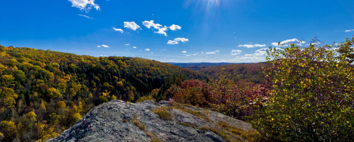
While Connecticut is a small state, it packs a punch with its variety of trails that visitors and locals can enjoy. There are hundreds of miles of trails that provide a range of explorations. For example, you can enjoy a brief stroll with your pooch or undertake a taxing and rugged hike through the hills. Travel through the wilderness and enjoy the chance to get back to nature.
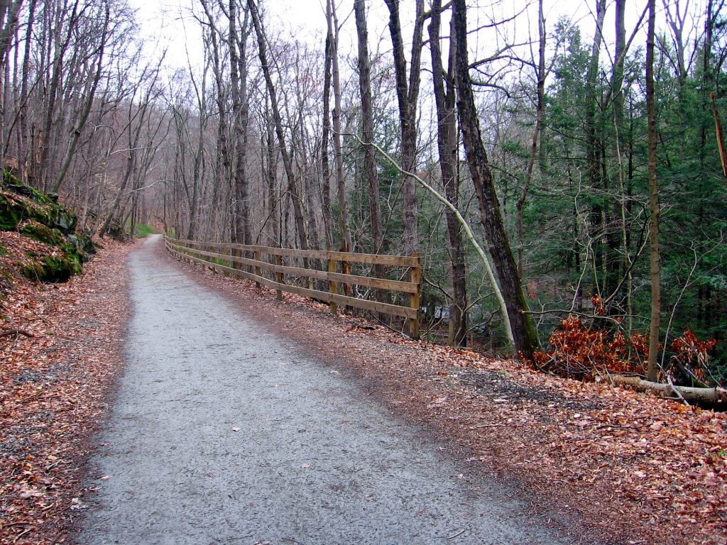
Image by David Mark from Pixabay
The trails around Connecticut offer spectacular views. During the warmer months when you’re hiking, you’ll encounter greenery all around you. As the leaves start to change during the fall, you can enjoy the ever-changing hues. During winter, strap on a pair of snowshoes and trek the trails.
No matter where you go in Connecticut, you’re never far away from some of the best hiking trails in the country, from central Connecticut to the shores of the Atlantic Ocean. The state parks offer a variety of activities for you and your family to enjoy while you’re hiking, from the Appalachian Trail to the Indian Point Hike.
1.
Have An Adventure In Bigelow Hollow State Park
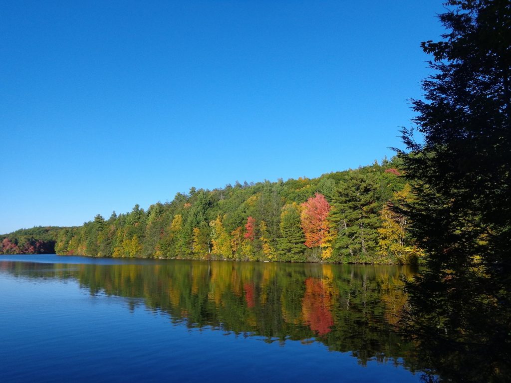
Image by jessica45 from Pixabay
Bigelow Hollow State Park is located in Union, Connecticut, and it offers experienced hikers a variety of trails, particularly the Nipmuck Trail, which takes off from the entrance of the park. Nestled in the Nipmuck State Forest, the trail runs for 8.3 miles through the park and is an out and back trail system. The Nipmuck Trail extends out to Breakneck Pond before looping back around again. In addition to the beautiful foliage that you’ll find just about anywhere you hike in Connecticut, the trail offers views of the pond and rock formations. Take a pair of binoculars and see if you can spot any waterfowl while you’re in the area.
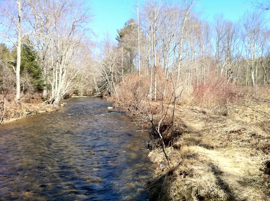
Image by Morrow Long on flickr
The Nipmuck Trail also refers to an almost 40-mile trail that is more extensive than the smaller trail that is a part of it running through Bigelow Hollow State Park. It extends to the border with Massachusetts and has a shape like an upside-down form with two branches to the south. If you choose to hike this trail be prepared for some amazing views, such as Wolf Rock and Pixie Falls.
2.
Explore Devil’s Den Preserve
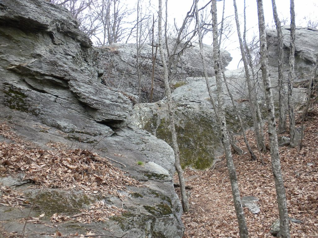
Image by Wikicommons
Devil’s Den Preserve is more than 1,700 acres of protected preserve and is the largest continuous preserve maintained by Connecticut’s Nature Conservancy. It offers a variety of options for people of all skill levels, from beginner to advanced. The trail system is considered confusing to many, so make sure you take a map or download a map on your phone for navigational purposes. There are well-explored southern trails, as well as more rugged trails in the center of the park.
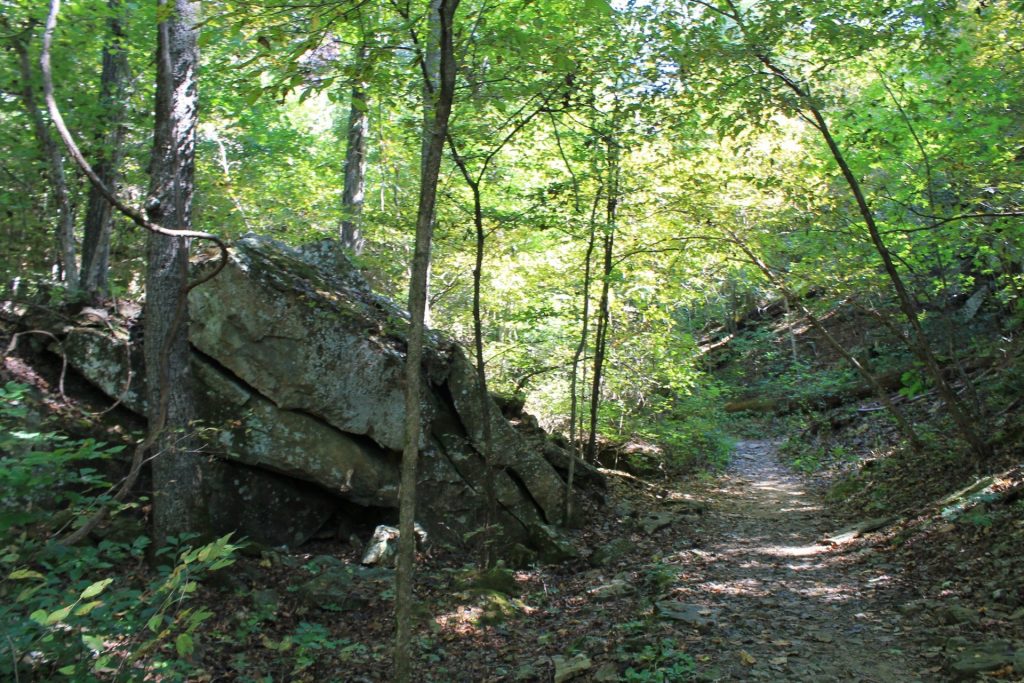
Image by WikiCommons
The best trail for beginners in Devil’s Den Preserve is the 1.3-mile lollipop loop that is considered easy for hiking. It is a flat loop, which makes traversing it easier than some of the other hikes in the park. It starts on Laurel Trail and winds toward Godfrey Pond, a mill pond that it circles. You can catch a peek at the remains of an old sawmill and other structures in the area before the loop heads back to connect to the Laurel Trail.
3.
Be Amazed By Devil’s Hopyard State Park
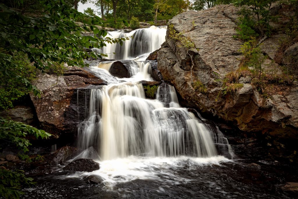
Image by David Mark from Pixabay
Devil’s Hopyard State Park is a great place for hiking in Connecticut. The park is a public recreation area located in East Haddam. It is 1,000 acres of parkland that has facilities for camping, hiking, fishing, and bicycling. The name hopyard comes from a man who grew hops as a crop, while the “Devil-ish” part of the name has many stories behind it. This includes supernatural causes for the potholes that form near the falls. The main feature of the park is Chapman Falls, which drops over 60 feet across a series of steps. There are also historic highway bridges that have been listed on the National Register of Historic Places and a smaller waterfall.
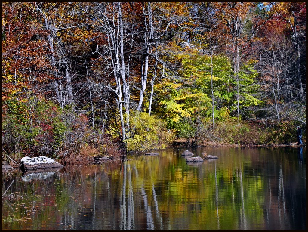
Image by Tom Henthorn on flickr
One of the main trails located in Devil’s Hopyard State Park is the Vista and Devil’s Oven via Orange Trail Loop. It is an aptly named loop trail that runs 2.2 miles. It is considered kid-friendly and tends to have moderate traffic. Dogs are allowed if they are leashed, and the trail features a lake which you can enjoy swimming in.
4.
Hike Through The Trails Of Hubbard Park

Iage by WikiCommons
Hubbard Park is located about 24 miles southwest of Hartford, Connecticut, in the town of Meriden. The park offers a range of trail lengths. So, you can head out for an hour or two or plan a significant portion of time on the trails. Situated here is Hanging Hills; a range of ridges that give an impressive vantage of the surrounding area.
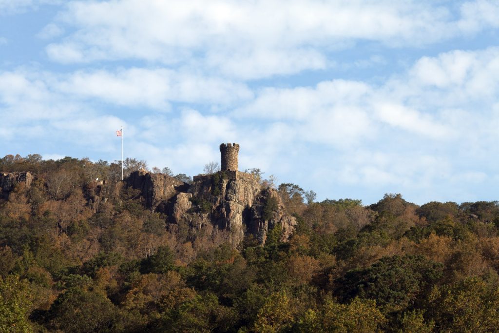
Image by WikiCommons
The trail to Castle Craig is a major attraction at this park, although families or groups that aren’t able to make the hike can park at the summit parking area to visit the tower. The trek starts at the trailhead for White Trail and crosses Interstate 691 via a pedestrian bridge. During the late fall and winter, you can get a peek at the stone tower while you’re making the climb. Once you reach the observation tower, you can climb the metal stairway to reach the top that allows views all the way to New Haven on a clear day.
5.
View The Scenery In Macedonia Brook State Park
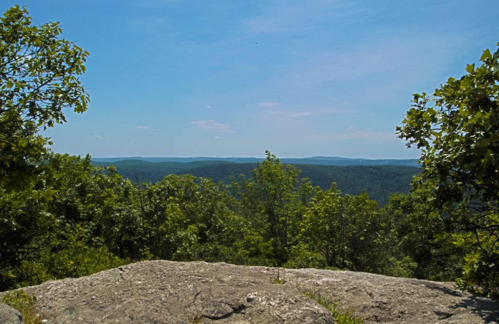
Image by Kenneth casper on flickr
Macedonia Brook State Park has a trail system that can accommodate a range of difficulty levels. There’s more technical terrain for the advanced hiker, while there is also easier hiking for those that aren’t interested or able to negotiate the mountain. You can camp here if you reserve a campsite or a rustic cabin at the campground, and you’ll find great fishing in streams all over the park.

Image by WikiCommons
Macedonia Ridge Trail has its southern trailhead off of Macedonia Brook Road. It is a 6.4-mile-long loop and great for intermediate and advanced hikers. The western portion of the trail is challenging, while the eastern half is an easier hike. You can head out on the loop either clockwise or counterclockwise, but hiking clockwise will give you the chance to clear the more challenging part of the hike first.
If you’re not interested in the full loop, you can hike out and back to Cobble Mountain, so you miss having to climb up multiple peaks and avoid some strenuous climbs. You’ll hike past Hilltop Pond if you travel the full loop, as well as numerous springs and streams.
6.
Find Serenity And Peace While Hiking In Mohegan Park
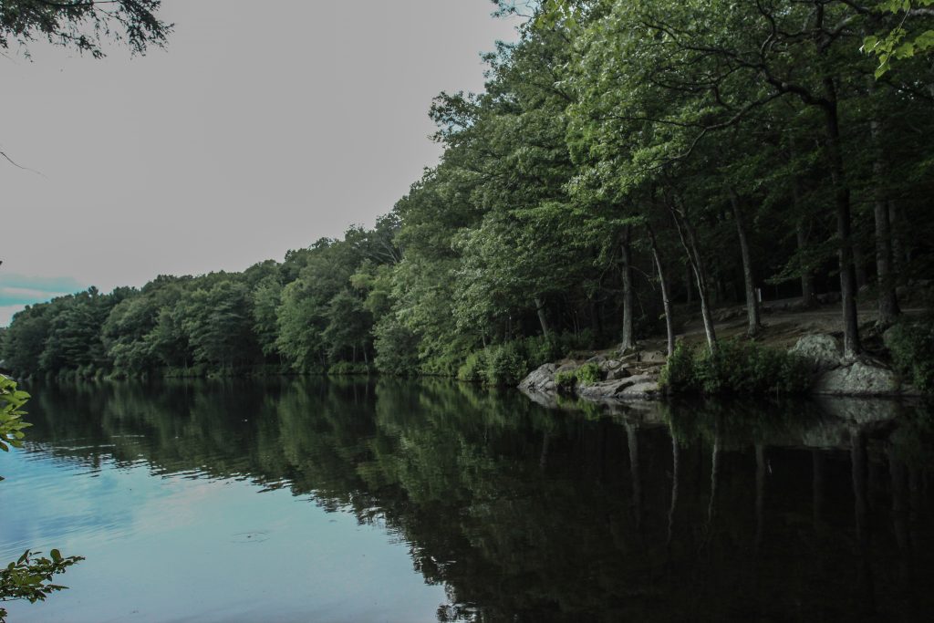
Image by LeanneMarie1215 on flickr
Mohegan Park is a lovely little park north of Norwich, Connecticut. The park can easily be explored on foot as the trails are relatively flat, making it easy for hikers of all ages to enjoy their time in the park. There’s a swimming beach at Spaulding Pond, or you can fish in the pond. There are also playgrounds and a Veterans Memorial Rose Garden with almost 2,500 rose bushes.
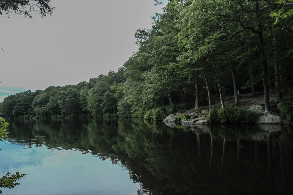
Image by LeanneMarie1215 on flickr
The Mohegan Park Loop is an easy trail for just about anyone to hike that extends for 1.9 miles. The trails tend to be wide, and you can hike them at any time of year. It’s best to hike the trail with a map, as it starts on the Blue Trail before crossing a wooden footbridge.
It eventually meets with the Green Trail at a delightfully scenic area at the Lower Pond. You’ll then cross to the Red Trail. Eventually, the trail comes to the edge of Spaulding Pond, so you’ll get a great look at the lake.
7.
Hop On Rocky Trails In Mount Riga State Park
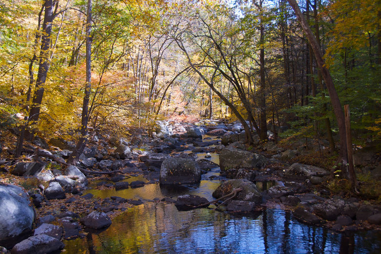
Image by Wikicommons
Mount Riga State Park is located near where the states of Connecticut, New York, and Massachusetts come together. In this park, you’ll have access to Bear Mountain, the highest peak in Connecticut. It’s important to make the distinction that this 2,323 feet peak is not the highest point in the state. There is a spot that is a little higher standing at 2,380 feet at the state line on the slope of Mount Frissell. This is a popular climb and provides a great vantage point over the surrounding areas.
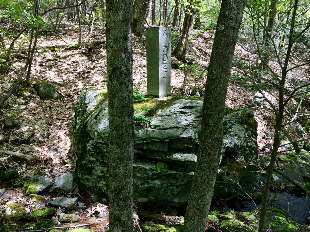
Image by WikiCommons
The Bear Mountain hike is an out and back trail that is great for intermediate hikers and above. It runs 5.4 miles roundtrip, so it’s a great way to spend the day. The hike starts from a parking lot along the Under Mountain Trail, where you will climb 1,000 feet in under 2 miles. Most of the climb has a gradual slope, although there are also streams that you will need to cross.
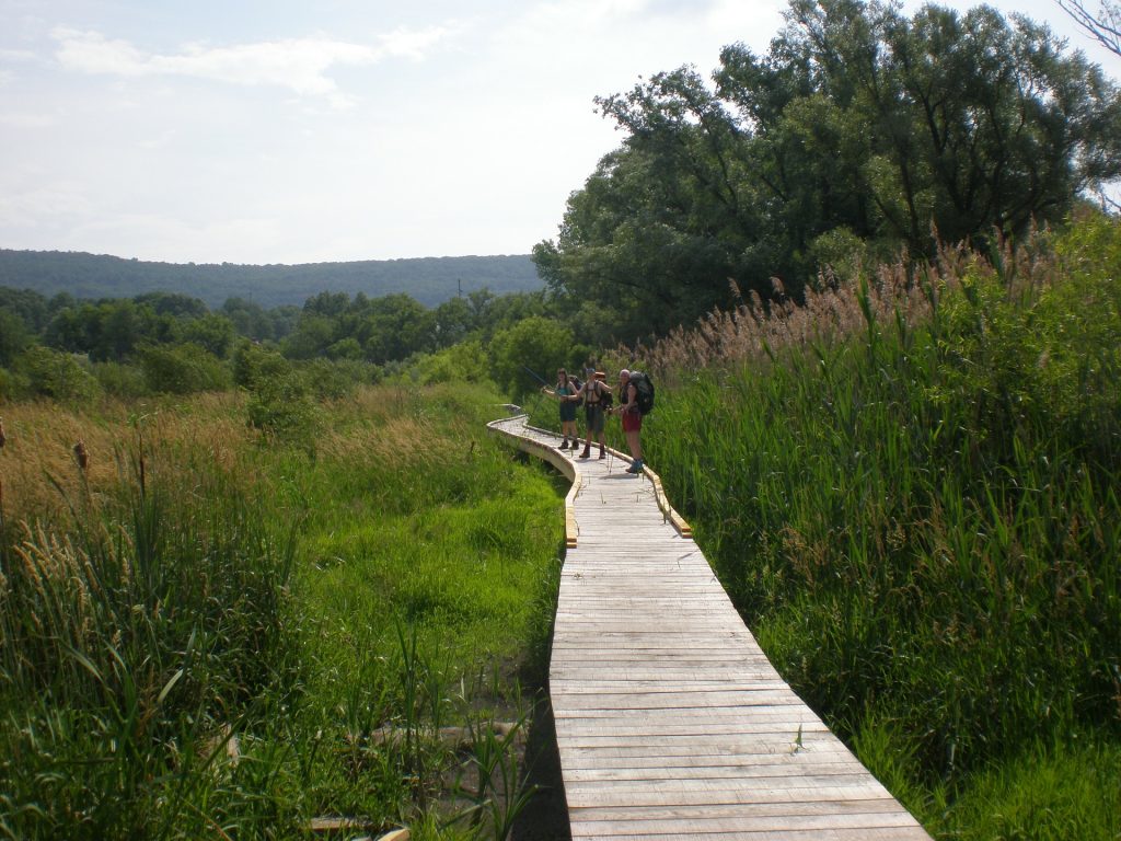
Image by cmauger from Pixabay
You’ll head onto the Appalachian Trail, and the trail becomes much steeper and more rugged. A flat-topped rock pyramid marks the peak of Bear Mountain. Once you’ve taken your pictures and enjoyed the experience, turn back around and retrace your steps to get off of the mountain.
8.
Take A Boat Ride In Paugussett State Forest
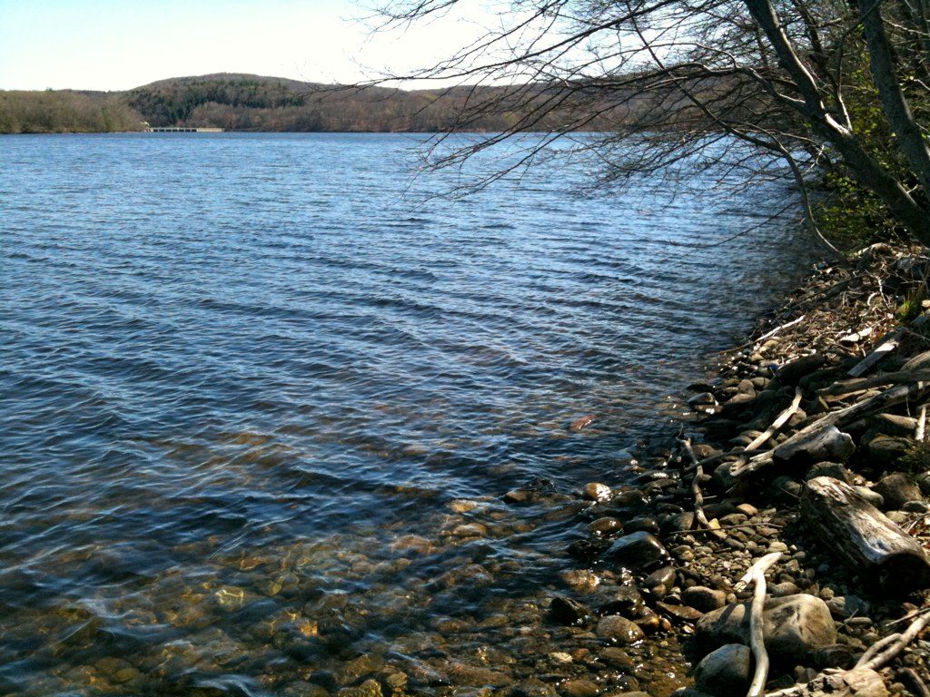
Image by Morrow Long on flickr
Paugussett State Forest is located in Oxford, Connecticut, roughly 19 miles northwest of New Haven. The forest offers a rugged loop in the form of the Zoar Trail. This relatively secluded experience compared to some of the other hikes on this list is a great option for more advanced hikers. The Zoar Trail forms part of the trail system in Paugussett State Forest. Also, there are connecting trails that abound, so you should bring a map with you to help you stay on the right trail.
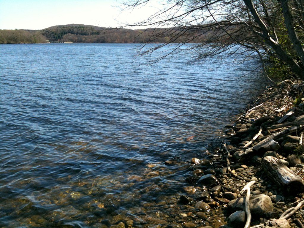
Image by Morrow Long on flickr
While you can travel the loop either clockwise or counterclockwise, it’s best to go clockwise around the loop. This way you can take on the steeper hills early on. the highest point is about 2 miles in. You’ll want to watch your footing as there are steep sections and some that are especially rocky.
You’ll cross through a few streams, which tend to be iced-over during the winter months. After you get past the highest point on the trail, you’ll want to watch your footing again as some of the areas descend steeply. You’ll come to Lake Zoar, which was formed as a reservoir on the Housatonic River. Here, you can enjoy boating and fishing during warmer months.
9.
Canoe Down The River In West Thompson Lake Recreation Area
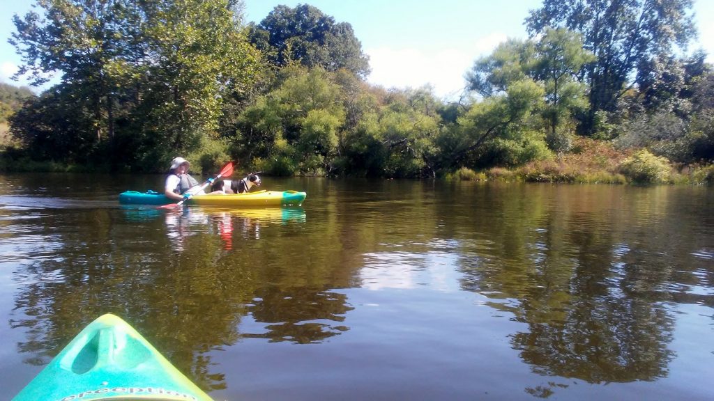
Image by Thedyrt
The West Thompson Lake Recreation Area offers adventurous hikers plenty of adventure for a day out on the trails. While the trails are relatively easy to hike, there’s more for you to spend the weekend exploring what this area of Connecticut. This includes the West Thompson Lake and the Quinebaug River. If you’re not interested in spending the day hiking, there’s still plenty to do in the park. For example, you can go kayaking or fishing on the water. There’s even a disc golf course.
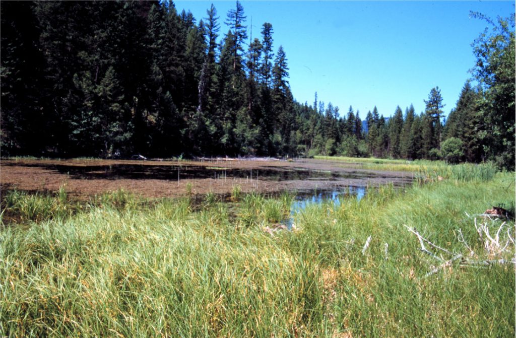
Image by WikiCommons
The West Thompson Lake Loop offers a great way to explore the recreation area. It is a 7.2-mile loop that is considered appropriate for moderate and advanced hikers to take on. If you decide to stay for the weekend, there’s a campground you can stay at.
The loop starts at the boat launching area and winds through the disc golf course. There are remnants of a bridge that used to be near the water, a great place to take a break. The biggest disadvantage to this trail is that it can be hard to follow in spots, so you’ll want to keep your eyes peeled for orange blazes.
10.
Get Lost In The Beauty Of Windsor Locks Canal State Park
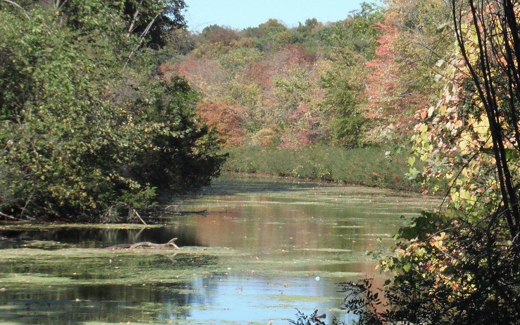
Image by Wikicommons
The Windsor Locks Canal State Park is a great area for hiking in Connecticut. Located between Suffield and Windsor Locks, Connecticut, this area is a 4.5-mile recreation area running along the Connecticut River. Originally, it was a dirt towpath running along the Enfield Falls Canal, although the area is now paved.
The trail provides a great place to spot wildlife as it is relatively isolated between the two waterways. It’s a popular destination for hikers at any time of day, and leashed dogs are welcome on the trail. The area is also often frequented by fishermen who come to the waterways to see what they can catch.
There are a great many trails throughout Connecticut for hikers to explore. The state parks offer a great way to get back to nature, even when they are only a few miles from nearby cities. There are trails for all skill levels. From beginners to advanced hikers, you’ll find something no matter how experienced you are. Enjoy the flat meadows all the way to the highest peak in Connecticut, and don’t forget to bring a camera with you!

